Lot 416: Sold for £130 hammer
An Antiques & Collectables Sale to include Militaria, Maps & Garden Furntiure,
Thursday 12th May 2016
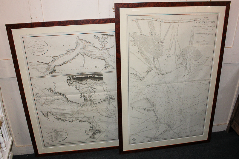
An early 19th century French chart map of Portsmouth and Langstone Harbours, 98cm by 64cm, and another map with the Needles, Isle of Wight, and Portsmouth Harbour and the Isle of Wight, 88cm by 59cm, both framed
Valuation days
Mon 6th July - Book an appointment 01243 532 223
Valuation Day for Jewellery & Watches