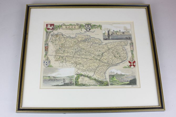
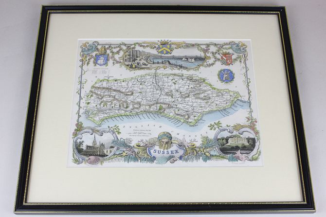
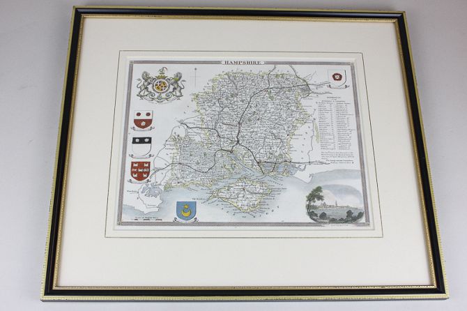
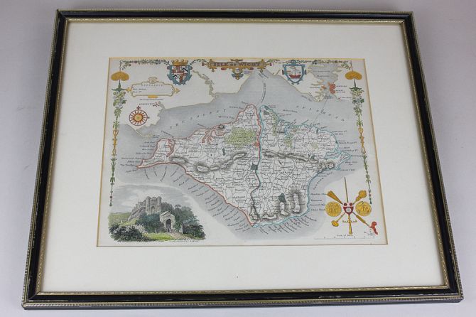
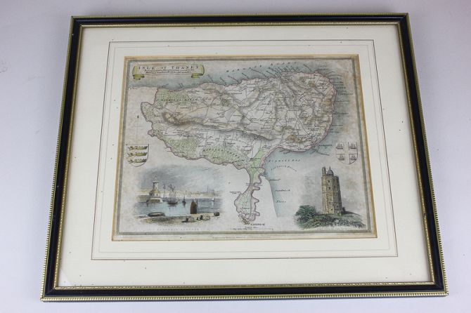
Five Thomas Moule county maps, 19th century, to include Sussex, Hampshire, Isle of Wight, Kent and the Isle of Thanet, all framed
Related lots from this sale
Lot 415: Sold for £170 hammer
Emmanuel Bowen, an 18th century chart map, the Isle of Wight and the coastline o...
Lot 416: Sold for £130 hammer
An early 19th century French chart map of Portsmouth and Langstone Harbours, 98c...
Lot 370: Sold for £95 hammer
Nigel Purchase (b.1940), historical family group portrait with artist viewed thr...
Lot 378: Sold for £165 hammer
George Furst, sailing ships in a bay, oil on canvas, signed, 52cm by 70cm...
Lot 398: Sold for £260 hammer
J Harris, an 18th century map of the Solent with the Isle of Wight and surroundi...
Lot 400: Sold for £95 hammer
Joseph Van Kenlen, an 18th century map of the Isle of Wight and coastlines of Su...
Lot 408: Sold for £230 hammer
Williams and Heather, an 18th century map of Spithead, including the Isle of Wig...
Lot 409: Sold for £100 hammer
Belin, an 18th century French map of the Isle of Wight, including surrounding ar...