Lot 415: Sold for £170 hammer
An Antiques & Collectables Sale to include Militaria, Maps & Garden Furntiure,
Thursday 12th May 2016
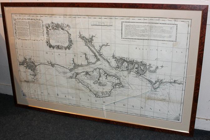
Emmanuel Bowen, an 18th century chart map, the Isle of Wight and the coastline of Sussex, Hampshire and Dorset, from Selsey to Poole Harbour, with inscriptions and sailing directions, sold by R Mount, London, 62cm by 116cm
