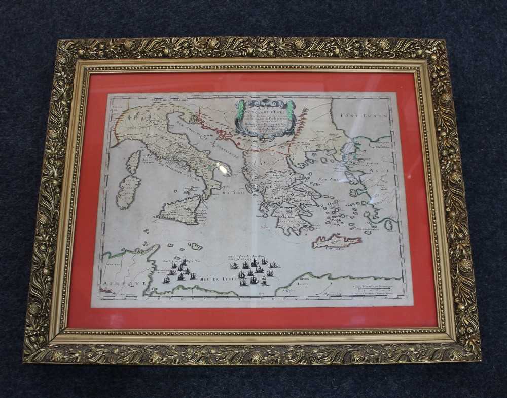
A framed Pierre (Pieter) Mortier map of the Eastern Mediterranean, from Sardinia, Corsica and Sicily to Turkey and the Aegean, centred on Greece, 39cm by 52cm

Valuation days

Related sold lots

Lot 269: Sold for £25 hammer

Bowen, Frank C, 'The Sea Its History and Romance', four volumes, London: Halton ...

Lot 126: Sold for £45 hammer

A framed 18th century map of 'Worthing, Little Hampton [sic] and Great Bognor' 8...

Lot 653: Sold for £90 hammer

A framed plan of the city of Chichester from an Actual Survey taken April 1812, ...

Lot 520: Sold for £20 hammer

A framed linen map of Khartoum compiled and zincographed at the Survey Office, K...

Lot 627: Sold for £100 hammer

An Emmanuel Bowen 18th century map of Sussex 'The Road from London to Arundel Su...

Lot 128: Sold for £100 hammer

A collection of ten 1940s and later Rupert Bear annuals and books, to include Ru...

Lot 206: Sold for £15 hammer

A collection of Folio Society books mostly History titles to include The Jubilee...

Lot 72: Sold for £22 hammer

Nouveau Voyage D'Italie - Tome II in brown and gilt leather binding, published 1...

View more sold Books & Maps