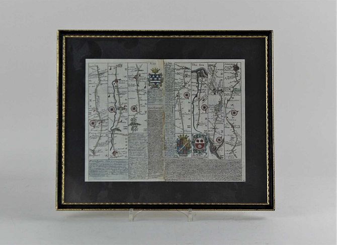
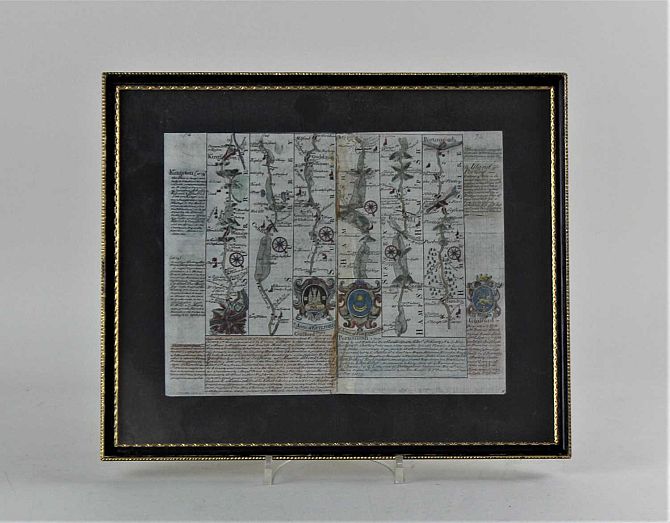
John Norden, Hamshire Olim Pars Belgarum hand coloured engraved map, 30cm x 33cm and two road maps with Hampshire routes, 19cm by 25cm
Related lots from this sale
Lot 285: Sold for £47 hammer
Robert Morden (fl.1668-1703) The Smaller Islands in the British Ocean hand colou...
Lot 275: Sold for £100 hammer
Second World War, 'The Administrative History of The Operations of 21 Army Group...
Lot 278: Sold for £100 hammer
Emanuel Bowen,18th century engraved map of the County of Somerset divided into i...
Lot 283: Sold for £500 hammer
Wenceslaus Hollar's Great Fire of London, engraved map, 23cm by 66cm...
Lot 287: Sold for £100 hammer
John Ogiby, four 18th century engraved road maps to London to Arundel, London to...
Lot 290: Sold for £230 hammer
John Speed, an early 17th century map of Somersetshire described and into hundre...
Lot 274: Sold for £200 hammer
Roberts, David, 'The Holy Land: Syria, Idumea, & Arabia', in 3 volumes, and ...
Lot 291: Sold for £200 hammer
John Speed, an early 17th century map of Hantshire described and divided, John S...