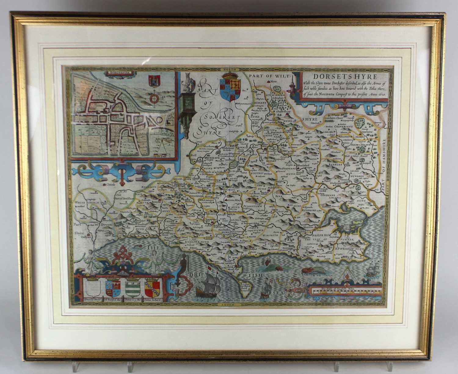
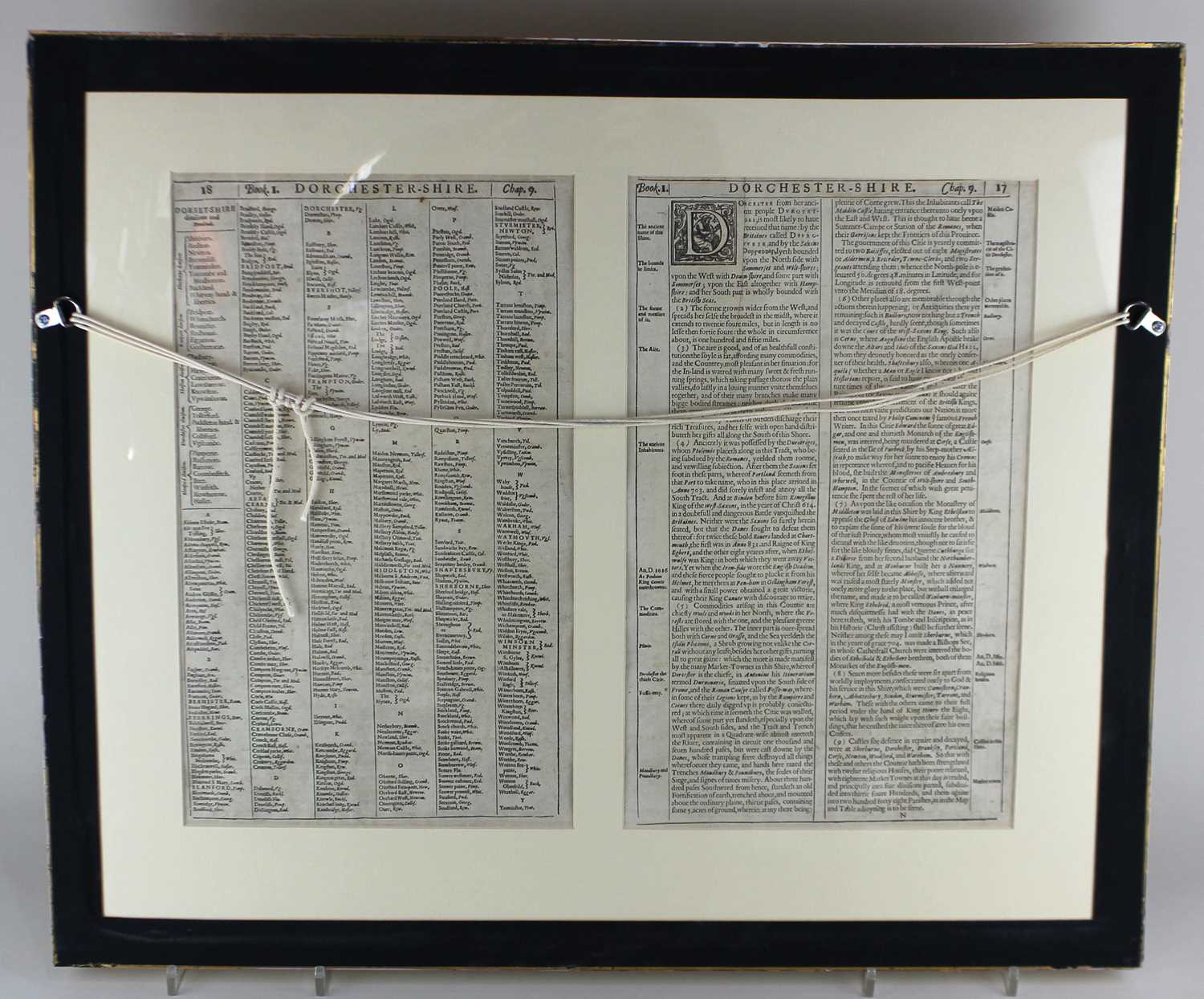
John Speed (1552-1629), 'Dorsetshyre', a hand-coloured engraved map, with a plan of Dorchester, text to verso, dated '1610', 38.5cm by 51cm, in double sided frame

Valuation days

Related sold lots

Lot 128: Sold for £100 hammer

A collection of ten 1940s and later Rupert Bear annuals and books, to include Ru...

Lot 212: Sold for £37 hammer

Coleridge's Rime of the Ancient Mariner illustrated by J Noel Paton RSA, pub. Ar...

Lot 208: Sold for £15 hammer

A collection of eight various antiquarian books to include four French leather b...

Lot 653: Sold for £90 hammer

A framed plan of the city of Chichester from an Actual Survey taken April 1812, ...

Lot 130: Sold for £85 hammer

Two volumes: 'Psychological Commentaries on the teaching of G I Gurdjieff and P ...

Lot 78: Sold for £25 hammer

A collection of thirteen English county maps from the Weekly Dispatch Atlas unfr...

Lot 211: Sold for £25 hammer

Thomas Blore The History and Antiquities of the County of Rutland vol 1 part II,...

Lot 75: Sold for £420 hammer

Flight Lieutenant DM Crook DFC, Spitfire Pilot a signed copy by the author, publ...

View more sold Books & Maps