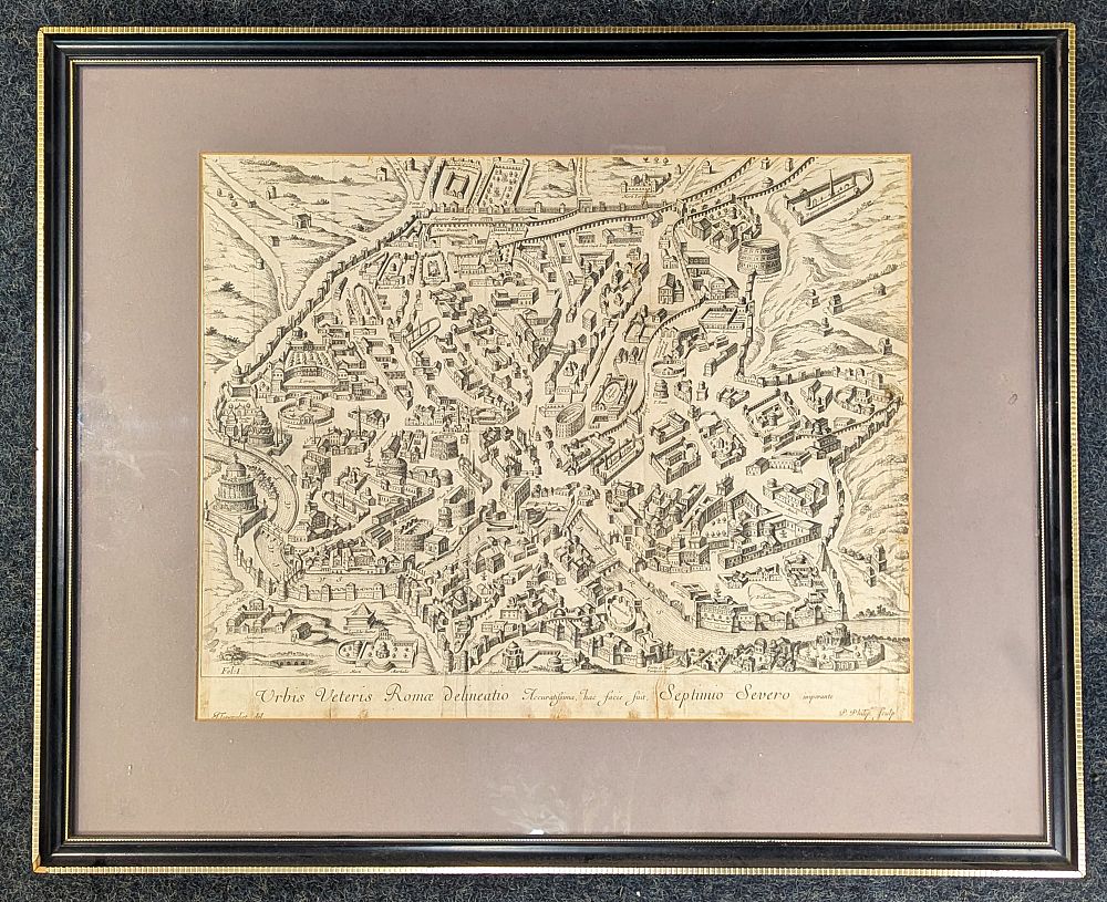
Torenvliet, J, a 17th century bird's-eye plan view of ancient Rome 'Urbis Veteris Romæ delineatio [....]', engraved by P. Philip, verso Charles Ede Limited Certificate of Authenticity, 36cm by 46cm

Valuation days

Related sold lots

Lot 67: Sold for £10 hammer

The Art and Craft of Hairdressing edited by Gilbert A Foan, hardback, fourth edi...

Lot 278: Sold for £100 hammer

Emanuel Bowen,18th century engraved map of the County of Somerset divided into i...

Lot 520: Sold for £20 hammer

A framed linen map of Khartoum compiled and zincographed at the Survey Office, K...

Lot 80: Sold for £140 hammer

C&J Greening, Map of Westmoreland,1824 in brown leather book box, other fold...

Lot 82: Sold for £65 hammer

Johanus Blaeu, 17th century coloured engraved map of the Isle of Wight unframed ...

Lot 269: Sold for £25 hammer

Bowen, Frank C, 'The Sea Its History and Romance', four volumes, London: Halton ...

Lot 204: Sold for £320 hammer

A framed John Speed map of Hampshire, "Hantshire described and devided. Jodocus ...

Lot 83: Sold for £50 hammer

Hondius, a 17th century engraved map of Persia 'Persicum Regnum' 15.5cm by 18.5c...

View more sold Books & Maps