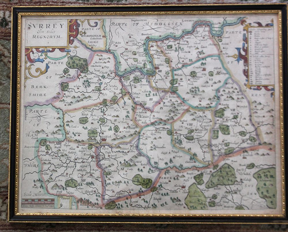
Two framed 17th century William Kip maps, one of Surrey from the map by John Norden, 29cm by 38cm, the other of Norfolk [Norfolciae] from the map by Christopher Saxton, 27.5cm by 39cm

Valuation days

Mon 16th March - Book an appointment 01243 532 223
Valuation Day for Jewellery & Watches

Related sold lots

Lot 216: Sold for £20 hammer

After L S de la Rochette, a framed 20th century reproduction of an 18th century ...

Lot 79: Sold for £25 hammer

John Ruskin, The Seven Lamps of Architecture in gilt tooled vellum binding, fift...

Lot 125: Sold for £70 hammer

A framed 17th century John Seller map of the British Isles 'Insulae Albion et Hi...

Lot 80: Sold for £140 hammer

C&J Greening, Map of Westmoreland,1824 in brown leather book box, other fold...

Lot 131: Sold for £55 hammer

'Fairground Art', The Art Forms of Travelling Fairs, Carousels and Carnival Midw...

Lot 81: Sold for £20 hammer

A collection of shipping charts to include St Vincent and Northern Part of The G...

Lot 205: Sold for £15 hammer

A framed Pierre (Pieter) Mortier map of the Eastern Mediterranean, from Sardinia...

Lot 684: Sold for £15 hammer

Four studio pottery reference books comprising Watson, Oliver, Studio Pottery, p...

View more sold Books & Maps