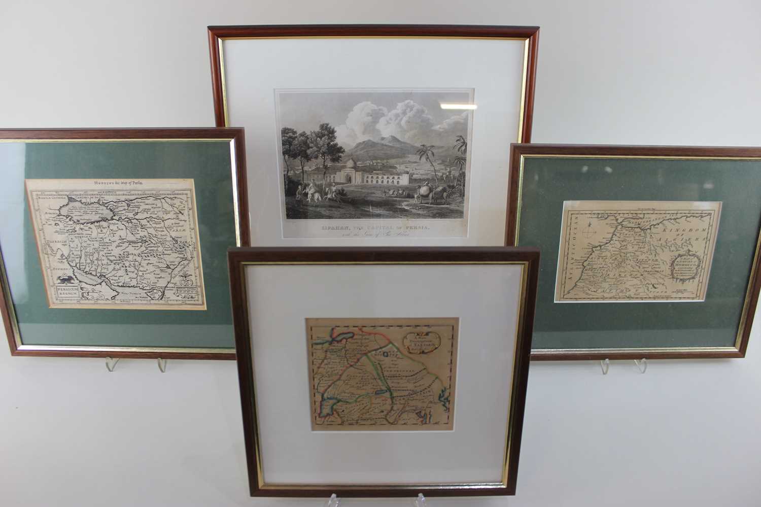
Hondius, a 17th century engraved map of Persia 'Persicum Regnum' 15.5cm by 18.5cm, Thomas Kitchin, 'A Map of the Empire of Morocco comprehending the Kingdoms of Fez, Morocco &c.' 12cm by 18cm, Robert Morden, 'A New Description of Tartarie' 12cm by 13cm, and a print after W M Craig, 'Ispahan, The Capital of Persia, with the Gate of Sha Abbas' 19cm by 23cm

Valuation days

Mon 23rd February - Book an appointment 01243 532 223
Valuation Day for Jewellery & Watches

Related sold lots

Lot 284: Sold for £25 hammer

A 19th century print of the Telescope Bridge on the Brighton to Chichester railw...

Lot 291: Sold for £200 hammer

John Speed, an early 17th century map of Hantshire described and divided, John S...

Lot 302: Sold for £12 hammer

Five hardback books to include 'Hampshire' painted by Wilfrid Ball, RE, describe...

Lot 243: Sold for £25 hammer

A collection of hardback books, mostly art related, to include The Sculpture of ...

Lot 246: Sold for £25 hammer

Antiquarian Map: 'The Road from Bristol to Banbury', John Ogilby, 1695, 34cm by ...

Lot 242: Sold for £100 hammer

Yorkshire & English County Maps: A collection of eleven maps, 18th and 19th ...

Lot 627: Sold for £100 hammer

An Emmanuel Bowen 18th century map of Sussex 'The Road from London to Arundel Su...

Lot 286: Sold for £55 hammer

John Norden, Hamshire Olim Pars Belgarum hand coloured engraved map, 30cm x 33cm...

View more sold Books & Maps