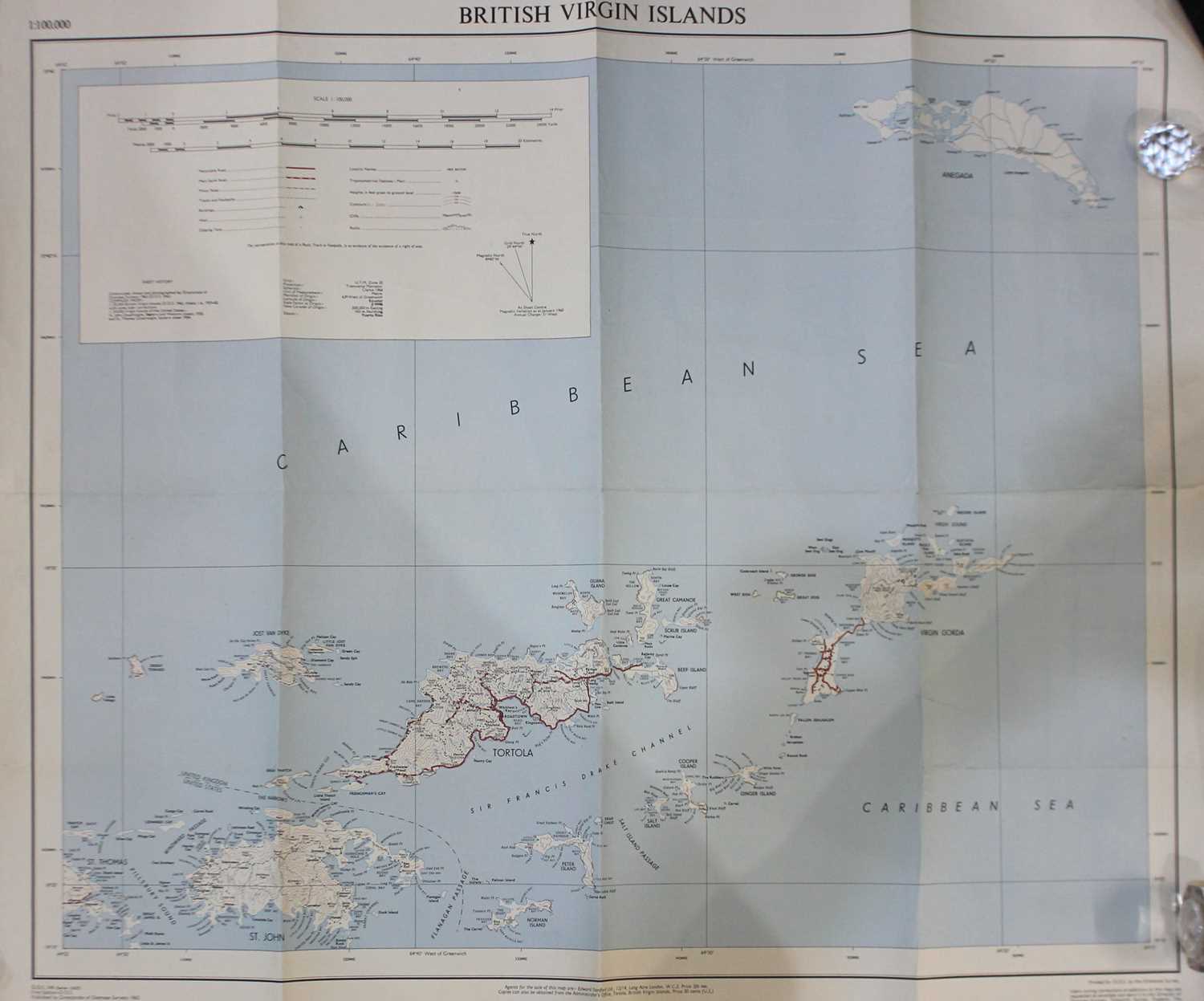
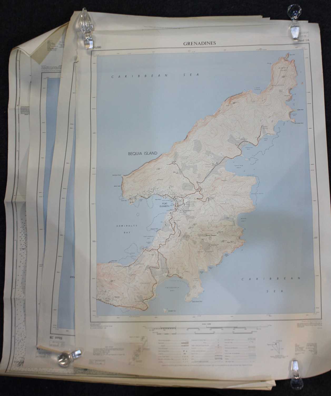
A collection of shipping charts to include St Vincent and Northern Part of The Grenadines printed August 79 and Carriacou to Battowia printed May 79

Valuation days

Related sold lots

Lot 210: Sold for £100 hammer

A framed 18th century Thomas Kitchin 'Accurate Map of Sussex Drawn from the Best...

Lot 211: Sold for £100 hammer

A framed Jan Jansson 'Anglia Regnum' map, hand coloured, probably 17th century, ...

Lot 521: Sold for £90 hammer

Pieter Van Den Keere (c.1571-1646), three small framed maps of Sussex, Surrey an...

Lot 125: Sold for £70 hammer

A framed 17th century John Seller map of the British Isles 'Insulae Albion et Hi...

Lot 76: Sold for £45 hammer

Three charts and maps of South America and the Caribbean sea, comprising Mortier...

Lot 520: Sold for £20 hammer

A framed linen map of Khartoum compiled and zincographed at the Survey Office, K...

Lot 652: Sold for £180 hammer

John Speed (1552-1629), 'Dorsetshyre', a hand-coloured engraved map, with a plan...

Lot 272: Sold for £170 hammer

Cunningham, T, The Laws of the Highways and Turnpike Roads, Owen's New Book of R...

View more sold Books & Maps