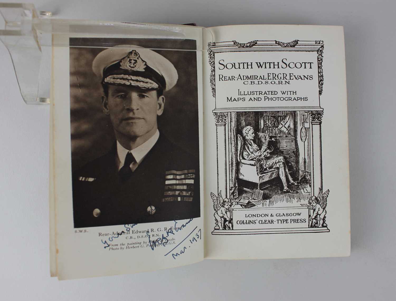
Rear-Admiral E.R.G.R Evans South with Scott, published by Collins, signed and dated Mar 1937 by the author, with a loose sketch map to illustrate Journeys of the Western Geological Parties

Valuation days

Mon 6th July - Book an appointment 01243 532 223
Valuation Day for Jewellery & Watches

Related sold lots

Lot 825: Sold for £42 hammer

A collection of mostly 18th and 19th century leather bound antiquarian books on ...

Lot 292: Sold for £40 hammer

A framed John Ogilby (1600-1676) route map for The Road from London to Weymouth ...

Lot 119: Sold for £35 hammer

A framed John Speed map of "Dorsetshyre With the Shyre towne Dorcester described...

Lot 73: Sold for £20 hammer

Carys six sheet map of England and Wales folding map published by J Cary 86 St J...

Lot 290: Sold for £230 hammer

John Speed, an early 17th century map of Somersetshire described and into hundre...

Lot 231: Sold for £110 hammer

Le Calendrier de la Cour, tiré des Ephémerides Pour l’annee bisstextile Mil ...

Lot 278: Sold for £100 hammer

Emanuel Bowen,18th century engraved map of the County of Somerset divided into i...

Lot 179: Sold for £10 hammer

Harry Furniss, MPs in Session from Mr Punch's Parliamentary Portrait Gallery pub...

View more sold Books & Maps