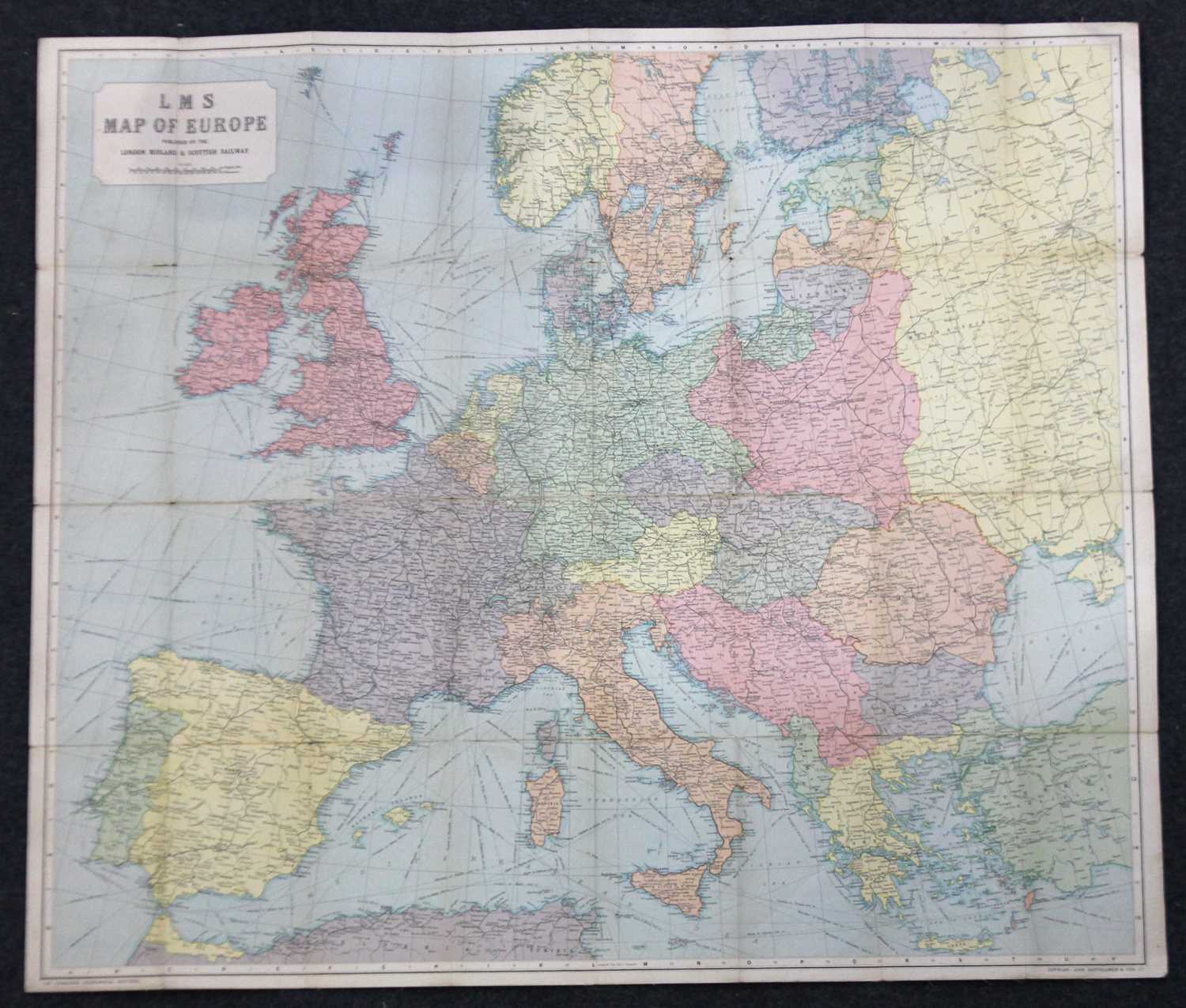
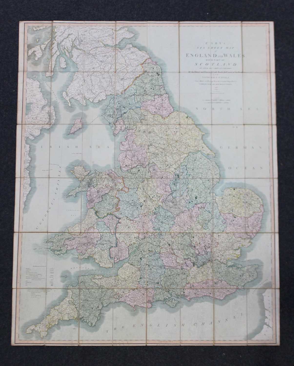
Carys six sheet map of England and Wales folding map published by J Cary 86 St James, London 1833 together with an LMS Map of Europe published by the London and Midland Scottish Railway

Valuation days

Related sold lots

Lot 286: Sold for £55 hammer

John Norden, Hamshire Olim Pars Belgarum hand coloured engraved map, 30cm x 33cm...

Lot 209: Sold for £60 hammer

Herbert, William, Antiquities of the Inns of Court and Chancery, printed for Ver...

Lot 84: Sold for £25 hammer

An 18th century Herman Moll engraved map of Cornwall, verso label and paperwork ...

Lot 128: Sold for £100 hammer

A collection of ten 1940s and later Rupert Bear annuals and books, to include Ru...

Lot 214: Sold for £20 hammer

Ernest Nister Publications, The Animal's Picnic described by Clifton Bingham, Pi...

Lot 653: Sold for £90 hammer

A framed plan of the city of Chichester from an Actual Survey taken April 1812, ...

Lot 291: Sold for £200 hammer

John Speed, an early 17th century map of Hantshire described and divided, John S...

Lot 516: Sold for £60 hammer

A collection of Folio Society books of Classical subjects to include Hommes The ...

View more sold Books & Maps