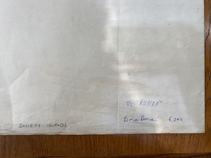
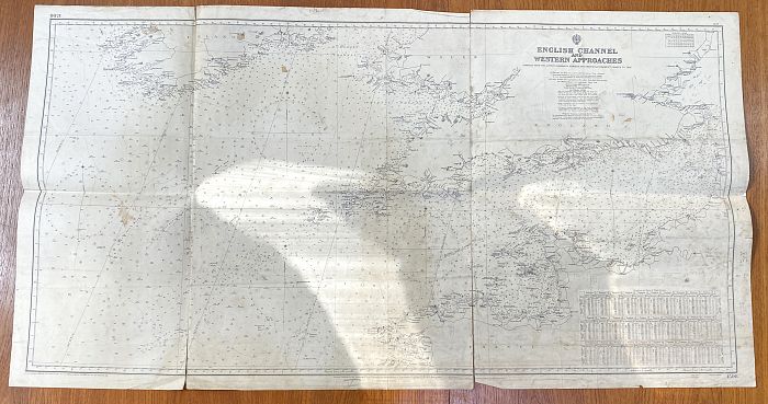
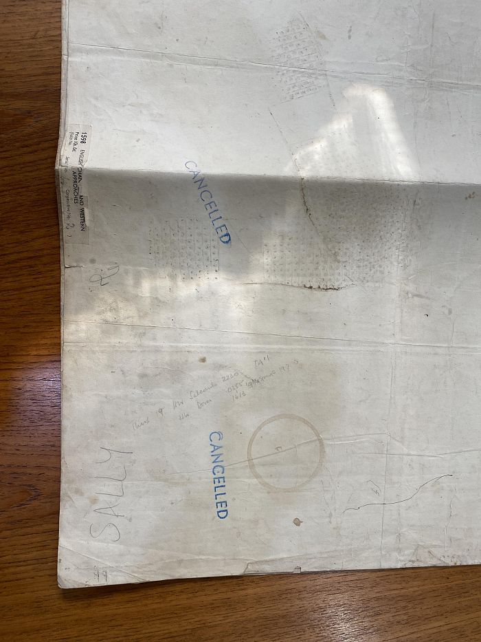
Two Marine charts for English Channel and Western Approaches 70cm by 134cm, and South Pacific Ocean Society Islands Borabora Island 106cm by 76cm (a/f)

Valuation days

Mon 3rd March - Book an appointment 01243 532223
Valuation Day for Jewellery, Watches & Silver

Related sold lots

Lot 627: Sold for £100 hammer

An Emmanuel Bowen 18th century map of Sussex 'The Road from London to Arundel Su...

Lot 522: Sold for £65 hammer

A Johannes Williemszoon Blaeu (1599-1673). Surria, venacule Surrey engraved map ...

Lot 275: Sold for £100 hammer

Second World War, 'The Administrative History of The Operations of 21 Army Group...

Lot 285: Sold for £47 hammer

Robert Morden (fl.1668-1703) The Smaller Islands in the British Ocean hand colou...

Lot 209: Sold for £60 hammer

Herbert, William, Antiquities of the Inns of Court and Chancery, printed for Ver...

Lot 63: Sold for £22 hammer

Brown, Thomas, Goldsmith's History of the Earth and Animated Nature three volume...

Lot 206: Sold for £15 hammer

A collection of Folio Society books mostly History titles to include The Jubilee...

Lot 69: Sold for £50 hammer

Arthur Rackham Book of Pictures with an Introduction by Sir Arthur Quiller-Couch...

View more sold Books & Maps