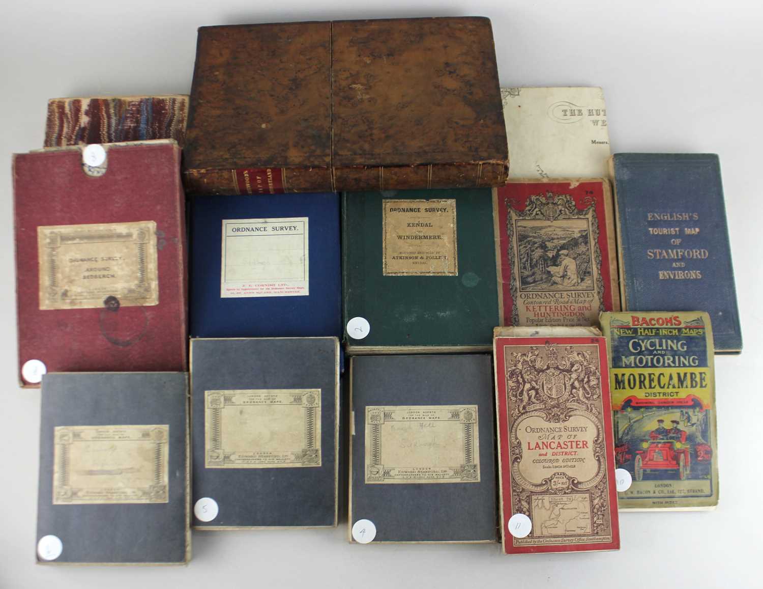
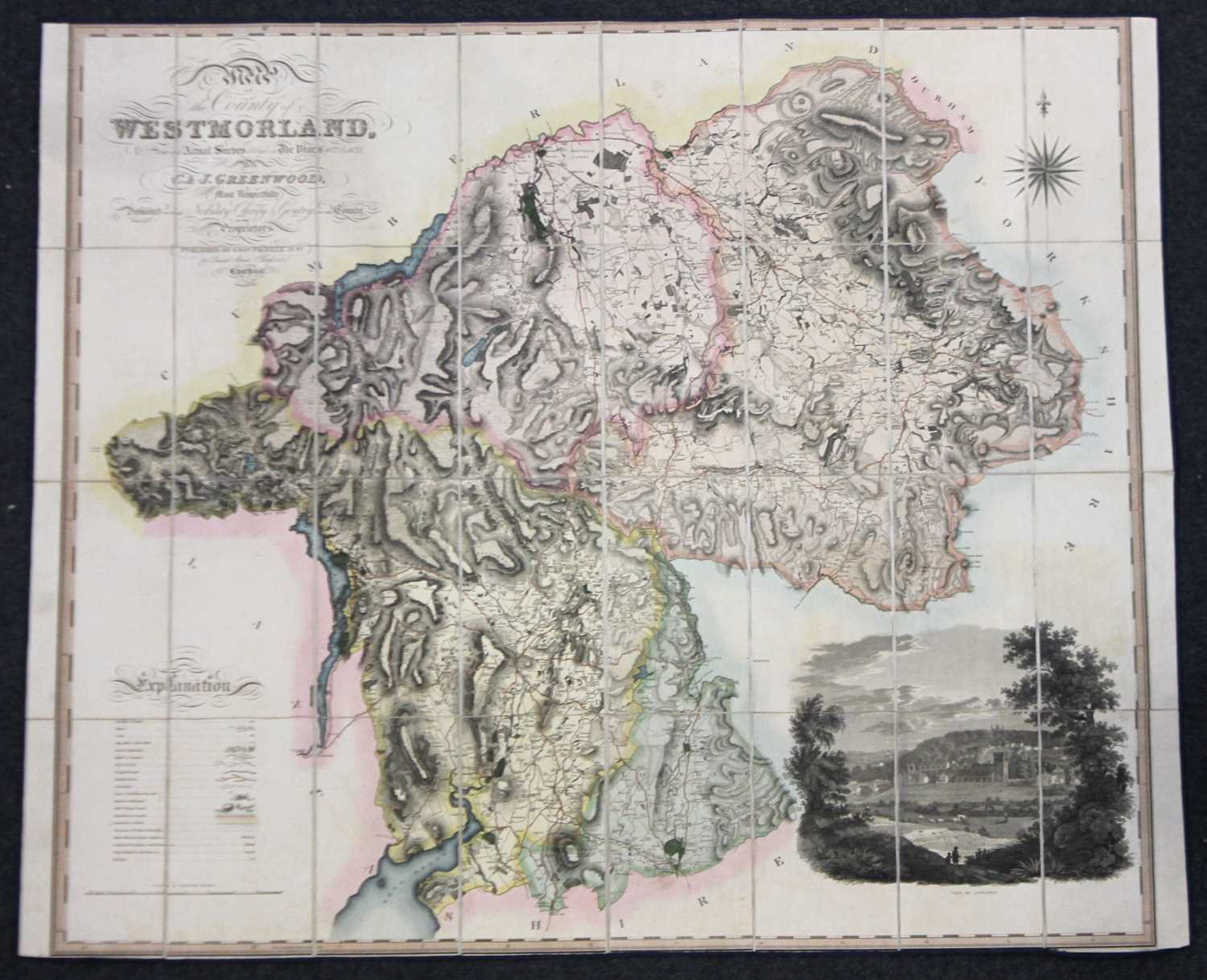
C&J Greening, Map of Westmoreland,1824 in brown leather book box, other folding maps including Sedburgh, Ordnance Survey maps of Kendal and Windermere, Lancaster and District, Bacon's Morecombe District Cycling and Motoring map and Bartholomews One Inch map of the Lake District and others

Valuation days

Mon 1st December - Book an appointment 01243 532 223
Valuation Day for Jewellery & Watches

Related sold lots

Lot 520: Sold for £20 hammer

A framed linen map of Khartoum compiled and zincographed at the Survey Office, K...

Lot 285: Sold for £47 hammer

After Gio Giacomo di Rossi, a hand coloured engraved map of Malta and Gozo, 'Iso...

Lot 291: Sold for £15 hammer

A Railway Clearing House Official Railway Map of England & Wales, 1947, fold...

Lot 631: Sold for £40 hammer

Holland, Henry, Journal of a Voyage &c. to Iceland, in the summer of 1810, h...

Lot 269: Sold for £25 hammer

Bowen, Frank C, 'The Sea Its History and Romance', four volumes, London: Halton ...

Lot 208: Sold for £25 hammer

Dickens, Charles, Master Humphrey's Clock, three volumes, illustrated by George ...

Lot 172: Sold for £85 hammer

Charles Dickens, seven early volumes including Bleak House, Our Mutual Friend, D...

Lot 68: Sold for £60 hammer

A Survey of the Coast of Sussex, In the Time of Queen Elizabeth, ed. Mark Antony...

View more sold Books & Maps