Lot 344: Sold for £47 hammer
An Antiques & Collectables Sale,
Thursday 4th August 2016
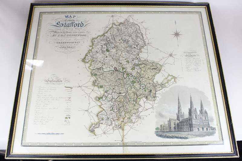
A 19th century map of Stafford County, from an actual survey made in the years 1818 and 1819, by C & J Greenwood, published 1830, showing boundaries of hundreds with coloured print of Lichfield Cathedral in bottom right corner, 75cm by 63cm