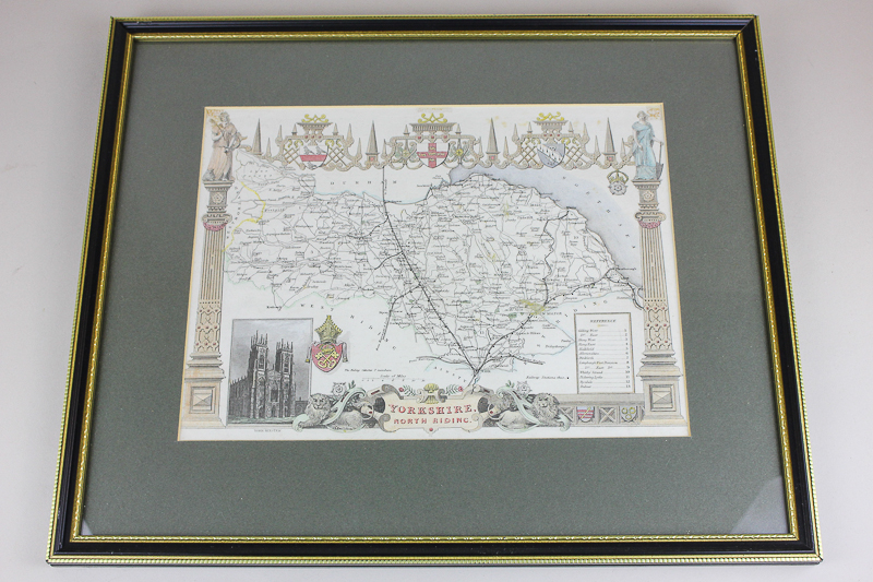
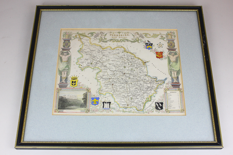
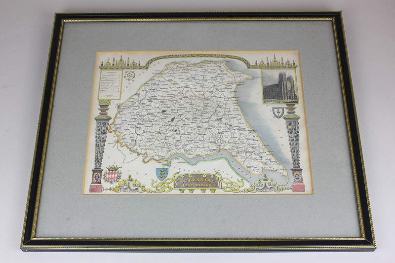
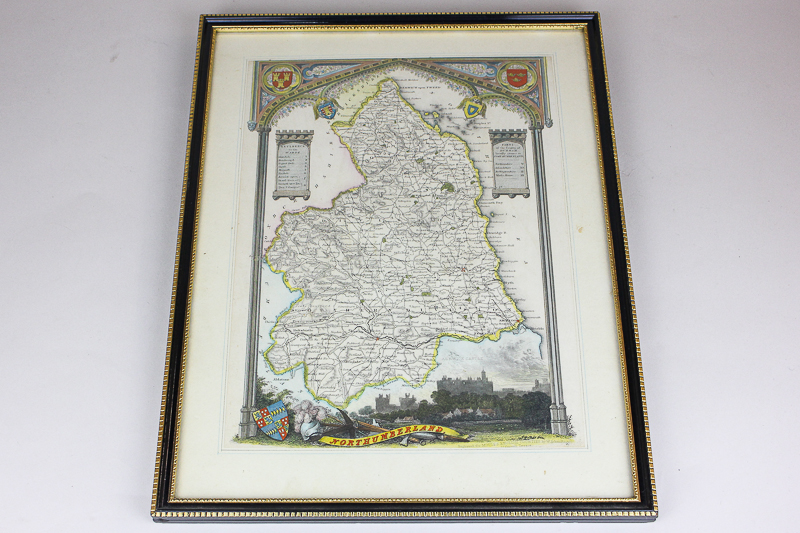
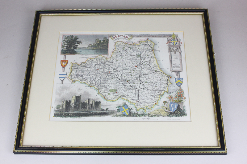
Five Thomas Moule county maps, 19th century, to include Durham, Northumberland, Yorkshire, East Riding, Yorkshire West Riding and Yorkshire North Riding, all framed
Related lots from this sale
Lot 355: Sold for £45 hammer
Five Thomas Moule county maps, 19th century, to include Monmonthshire, Wiltshire...
Lot 374: Sold for £50 hammer
Five Thomas Moule county maps, 19th century, to include Nottinghamshire, Leicest...
Lot 375: Sold for £50 hammer
T Kitchin, 18th century map of Carmarthenshire, another smaller map of Carmarthe...
Lot 412: Sold for £47 hammer
After A J Wirsing, two 18th century coloured botanical prints of tulips, 50cm by...
Lot 415: Sold for £47 hammer
R Rowe, an early 19th century Trinity House plan showing the leading lights for ...
Lot 361: Sold for £40 hammer
Four Thomas Moule county maps (19th century), to include Gloucestershire, Worces...
Lot 362: Sold for £40 hammer
Four Thomas Moule county maps, 19th century, to include Lancashire, Westmoreland...
Lot 377: Sold for £95 hammer
W Harford (late 19th century British), cottage views with figures and flowers in...
Don’t miss out.
Sign up for auction updates and news by email.
We take your privacy very seriously. We’ll always treat your personal details with the utmost care and will never pass them onto a third party without your consent. Read our Privacy Policy.