Lot 357: Sold for £20 hammer
An Antiques & Collectables Sale to include Militaria & Weaponry,
Thursday 11th June 2015
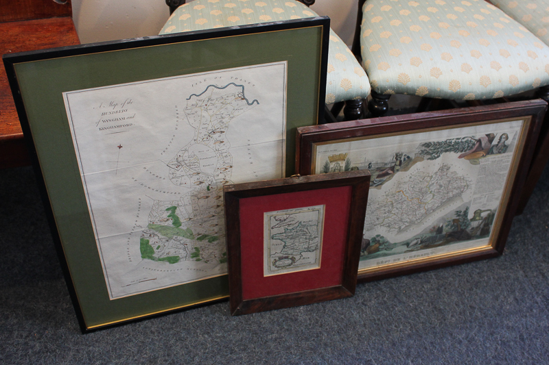
An 18th century French map, 'France en General', 11cm by 16cm, another French map of Montpelier from the Atlas National Illustre and hand coloured 19th century English map of the Hundreds of Wingham and Kinghamford